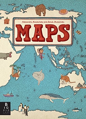
Cover of Maps

Maps

Aleksandra Mizielińska and Daniel Mizieliński

3 ideas

  1. Maps as cultural rather than political inventories

    A map can encode what a place is like to live in (foods, animals, customs, landmarks, famous people) instead of borders, elevations, and capitals. Replacing abstract data layers with concrete, drawable things turns the map from a tool for locating into a tool for imagining, which suits a reader who has no use yet for coordinates.

  2. Insider verification for outsider depictions

    The check targets a specific failure: an outside author picks symbols that are recognizable abroad but stale, stereotyped, or wrong at home. Insiders correct which dishes, customs, and figures actually represent the place.

  3. Density over precision in visual reference

    Packing a page with many small, hand-drawn items rewards browsing, because the reader explores and discovers rather than looks something up. The trade is deliberate: geographic precision and completeness are given up so that curiosity and repeated return visits become the learning mechanism.

Save and mark ideas in the app