Mapping a fictional world from its text
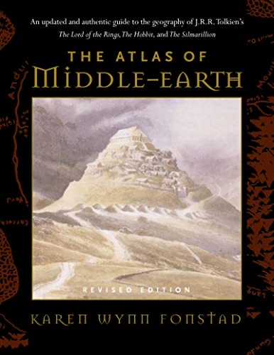
Fonstad reconstructs Middle-earth's geography by reconciling distances, routes, and descriptions scattered through Tolkien's writing. The atlas treats a novel's incidental details as survey data.
3 ideas
Fonstad reconstructs Middle-earth's geography by reconciling distances, routes, and descriptions scattered through Tolkien's writing. The atlas treats a novel's incidental details as survey data.
The maps track how the physical world changes across the ages of Tolkien's mythology, tying landscape to history. Terrain becomes a record of the legendarium's events.
Consistent, mappable space is part of why Tolkien's world feels real; the atlas makes that hidden coherence explicit. Worldbuilding is validated by its ability to be charted without contradiction.