Comprehensive political and physical maps
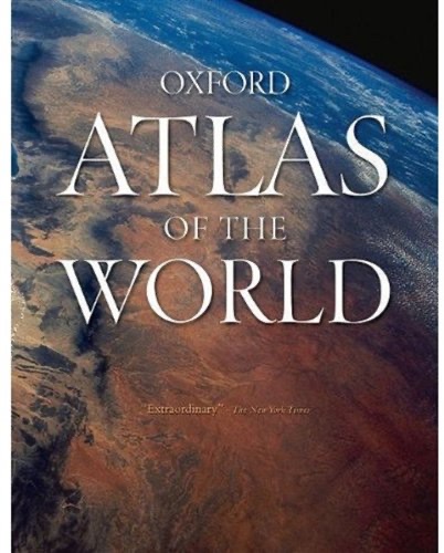
Detailed cartography covers every region with cities, terrain, and borders. It aims for authoritative coverage of the whole world.
3 ideas
Detailed cartography covers every region with cities, terrain, and borders. It aims for authoritative coverage of the whole world.
Beyond base maps it includes satellite images plus climate, population, and economic statistics. Data supplements the cartography.
Standardized projections, legends, and scales make regions comparable across the globe. Consistency is what turns maps into a reference system.